Why the UK Has So Many Shipwrecks: A Coastal Geography Explainer
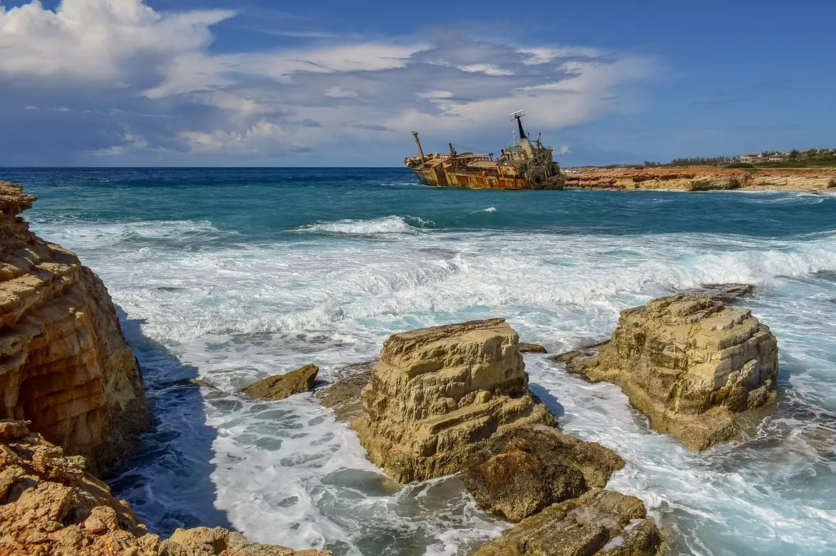
Almost every harbour in Britain has a story about a ship that did not make it. Stand on a cliff path in Cornwall, Kent or the Outer Hebrides and you are looking at water that has taken vessels for as long as people have sailed through it. There is nothing mysterious about the pattern. It is geography, weather and traffic, and once you know what to look for, the coastline starts to read like a set of instructions for getting wrecked.
An island nation parked in the path of the Atlantic
Britain and Ireland sit on the eastern edge of the Atlantic, right where the prevailing south-westerly winds arrive. Low-pressure systems roll in off the ocean with gales, rain and poor visibility, and they arrive far more often than anywhere on the near continent. That matters because of one phrase sailors still use with respect: a lee shore.
A lee shore is a coast with the wind blowing straight onto it. There is no shelter and no room to run downwind. For a sailing ship caught on a lee shore in a westerly gale, the options ran out quickly, and the west coasts of Scotland, Ireland, Wales and Cornwall have been collecting the results for centuries. Add fog — spring and summer sea fret on the east coast, thick autumn murk in the Channel — and you have a set of conditions that make landfall guesswork.
The seabed is not a blank sheet
Look at a nautical chart and the water looks busy. It is. Around the British Isles there are granite reefs, chalk ledges, volcanic outcrops and enormous banks of sand that move with every serious storm. A chart drawn in 1850 may show a shoal where there is now deep water, and deep water where a bank has built up.
Some names recur in wreck records again and again:
- The Goodwin Sands, off Deal in Kent — a shifting sandbank that has swallowed hundreds of vessels, and shifts enough to change shape within a single gale.
- The Seven Stones, off the Isles of Scilly — the reef that sank the Torrey Canyon in 1967 and changed how oil spills are handled.
- The Haisborough Sands off the Norfolk coast, a stretch of shallow, breaking water that has long been a graveyard for coasters.
- The Skerryvore and the other Hebridean reefs, where Atlantic swell meets rock.
- The Needles and the Shingles Bank at the western entrance to the Solent, a narrow gap with hard edges.
Tides that run like rivers
British tidal ranges are big. The Severn Estuary and the Bristol Channel regularly see some of the largest tides in the world, and across the country the difference between high and low water can be several metres in a single afternoon. Where that volume of water is squeezed between headlands or islands, it accelerates into something that behaves like a river.
The Pentland Firth between Caithness and Orkney is the classic example, with tidal streams strong enough to stop a slow vessel in its tracks and overfalls that can swamp a small boat. Portland Race, the Race of Alderney and the Gulf of Corryvreckan are others. A sailing ship becalmed in a tideway is helpless; a steamer with an engine failure is not much better. Tide, not wind, is often the thing that puts a vessel onto the rocks.
A crossroads for the world's trade
The Dover Strait is one of the busiest shipping straits anywhere, with hundreds of vessels passing through every day — container ships, tankers, ferries, fishing boats and yachts, all sharing a stretch of water barely twenty miles wide. It was also one of the first places in the world to get a formal traffic separation scheme, because collisions in fog had become routine.
Dover is only the most obvious pinch point. The approaches to Liverpool, the Irish Sea, the North Sea lanes serving the east coast ports and the oil and gas fields, and the Channel itself all concentrate traffic into narrow, tidal, reef-strewn water. Where you put a lot of ships, you get a lot of wrecks.
For centuries, navigation was educated guesswork
Until the eighteenth century, finding your longitude at sea was close to impossible. In 1707 a fleet under Admiral Shovell ran onto the Scilly Isles in poor weather; four ships were lost and the admiral with them. The disaster helped push Parliament into offering a prize for a practical method of finding longitude, which eventually arrived in the form of John Harrison's chronometers. Until then, a captain who had been blown off course had only a lead line and dead reckoning to tell him where he was.
The nineteenth century brought better charts, lighthouses and lifeboats, but also more ships and harder commercial pressure. Overloaded and badly maintained vessels sailed until they foundered; the loss of the SS London in 1866 helped force the debate that produced Samuel Plimsoll's load line. The Royal Charter storm of 1859, which wrecked dozens of vessels, led directly to the first organised gale warnings.
Better kit, same coastline
Radar, GPS, electronic charts, steel hulls and reliable engines have cut the casualty rate enormously. Trinity House lighthouses and buoys still mark the way, the RNLI has been launching since 1824, and forecasting is a different world from FitzRoy's day. What has not changed is the geography: sand that moves, tides that run hard, fog that arrives without warning and a coast that offers few safe havens in a north-westerly gale. Most modern incidents involve small craft, fishing boats and engine failure rather than square-riggers, but the underlying causes are the same ones that filled the record books.
Reading a wreck coast for yourself
You do not need a boat to see this history. Much of it is visible from a cliff path or a harbour wall, if you time the visit well.
- Go at low water. Sandbanks, reef ledges and the ribs of old wrecks show themselves on big spring tides. Check a local tide table first and give yourself plenty of margin on the way back.
- Take a chart, not just a map. Even a small-scale nautical chart shows the shoals and tidal diamonds, and suddenly the reason for a lighthouse or a wreck marker makes sense.
- Visit the collections. The shipwreck museums at Charlestown in Cornwall and Deal in Kent, the figureheads in the Valhalla collection on Tresco, the Mary Rose Museum in Portsmouth and the National Maritime Museum Cornwall at Falmouth all turn a list of names into something human.
- Be careful in the water. Many wrecks are protected by law and should not be disturbed. If you dive or kayak, go with proper training, local knowledge and a boat cover, and stay well clear of running tides and breaking overfalls.
The best way to understand why Britain has so many wrecks is simply to stand on the coast in a fresh south-westerly and watch what the sea does to the land. The reasons become obvious in about five minutes.